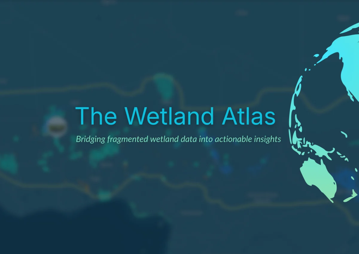
Amsterdam, Netherlands – April 9, 2026 – In a significant move to address the escalating crisis of global wetland degradation, Wetlands International today unveiled the Wetland Atlas, a groundbreaking global online platform. This initiative aims to cut through the pervasive "data fog" that has historically hampered much-needed investment in wetland conservation. By providing clear, accessible, and insightful data, the Wetland Atlas is poised to unlock new avenues for action and funding from governments, businesses, and investors, thereby accelerating efforts to protect and restore these vital ecosystems.
The launch comes at a critical juncture, as wetlands worldwide continue to disappear at an alarming rate. These invaluable ecosystems are fundamental to tackling some of the most pressing challenges of our time, including ensuring water and food security, mitigating climate change, halting biodiversity loss, and achieving sustainable development goals. Despite their crucial role, the statistics paint a stark picture: since 1970, an estimated 22% of the world’s freshwater and coastal wetlands have been lost, with a quarter of the remaining wetlands now significantly degraded. While ambitious global targets and effective conservation strategies exist, the financial and operational support for wetland protection and restoration consistently falls far short of what is urgently required.
A primary impediment to mobilizing adequate resources and implementing effective conservation measures has been the persistent lack of comprehensive, up-to-date, and easily accessible data and analyses. The Wetland Atlas has been meticulously developed to bridge this critical gap, offering a centralized repository of information designed to empower decision-makers.
A New Era of Wetland Data and Investment
Coenraad Krijger, CEO of Wetlands International, emphasized the transformative potential of the new platform. "The Wetland Atlas will open up a whole new world of wetlands, accurately mapping different freshwater and coastal wetlands and their diverse values," Krijger stated. "It will guide public and private funders to invest in conservation projects that will yield the greatest returns for people, nature, and climate. This unique tool is not a silver bullet, but it will help to transform how governments, businesses, and financial institutions value wetlands, and invest in their protection and restoration."
Historically, wetland data has been fragmented, siloed, inconsistent, and often incomplete, making it exceedingly difficult for stakeholders to gain a holistic understanding of wetland status, functions, and values. The Wetland Atlas seeks to rectify this by consolidating available information into a single, user-friendly tool. By integrating biophysical data, socio-economic information, and policy-relevant analyses, the platform empowers governments, donors, and investors to pinpoint areas where conservation actions will yield the most significant impact.
Francesca Antonelli, Freshwater Lead at Wetlands International, highlighted the platform’s user-centric design and its capacity to streamline decision-making processes. "Different decision-makers will come to the platform with different questions, but the goal is always the same: help them make faster, better-informed decisions and so accelerate wetland action," Antonelli explained. "Instead of searching in confusion and frustration across multiple disconnected sources, public and private decision-makers will be able to explore one integrated platform. Instead of raw datasets, they will see structured insights that genuinely guide their decisions and investments. Instead of uncertainty, they will gain clarity on where to act, and why."
Focus on Vulnerable Regions: The Sahel and Horn of Africa
While the Wetland Atlas is designed for global application, its initial launch strategically focuses on the Sahel and the Horn of Africa. These regions are increasingly vulnerable to the impacts of climate change, environmental degradation, and water scarcity. Investing in the health of rivers, lakes, and other wetlands in these areas is not only crucial for enhancing water and food security but also for fostering peace and security. The platform provides detailed, up-to-date information specifically tailored to the needs of this critical region.
Karounga Keita, Regional Director for the Sahel at Wetlands International, expressed profound optimism about the Atlas’s utility for his region. "I have been waiting for a tool like this for years – the first detailed, up-to-date map of the wetlands across this vast and diverse region," Keita remarked. "Healthy wetlands are the key to reducing conflict and disaster risk in the Sahel: now we can show where action and investments will reap the greatest benefits for vulnerable communities – and help to build resilience and stability."
The development of the Wetland Atlas builds upon Wetlands International’s extensive experience and success in collaborating with a wide network of partners on cutting-edge research, influential policy advocacy, citizen science initiatives, and the development of innovative mapping tools. Previous successful projects include the Global Mangrove Watch, the Critical Sites Network Tool, the Waterbird Populations Portal, and the International Waterbird Census, all of which have contributed significantly to wetland conservation efforts globally.
Synergy with Global Initiatives and Open-Access Principles
The Wetland Atlas represents a significant complementary step in supporting the objectives of the GEO-Wetlands partnership. This partnership is dedicated to providing stakeholders and users with Earth Observation-based mapping, monitoring, inventory, and assessment of wetlands under the aegis of the Ramsar Convention on Wetlands. By aligning with and enhancing these existing global efforts, the Wetland Atlas aims to create a more coordinated and effective approach to wetland conservation worldwide.
A cornerstone of the Wetland Atlas’s philosophy is its commitment to open-access principles. The platform is built upon data drawn from a combination of published research, global and national databases, contributions from partner organizations, newly generated data, and valuable user input. This inclusive approach ensures that the most comprehensive and accurate information is available to all, and the platform is designed to continuously evolve and improve as new data becomes accessible.
Key Features and Decision-Support Capabilities
The Wetland Atlas is specifically engineered as a powerful decision-support platform, designed to assist users in a variety of critical tasks. Its core functionalities include:
- Comprehensive Mapping and Inventory: Providing detailed, georeferenced maps of diverse wetland types, from freshwater marshes and peatlands to coastal mangroves and coral reefs. This allows for accurate identification and enumeration of wetland areas, crucial for planning and management.
- Assessment of Wetland Ecosystem Services: Quantifying and visualizing the vital services that wetlands provide to both people and nature. This includes services related to water purification, flood control, carbon sequestration, biodiversity support, and food production, enabling a clearer understanding of their economic and social value.
- Identification of Priority Areas for Action: Utilizing integrated data to pinpoint wetlands that are most degraded, most threatened, or offer the greatest potential for restoration and conservation impact. This guides resource allocation to maximize conservation outcomes.
- Facilitation of Investment and Funding: Presenting clear, evidence-based justifications for investing in wetland conservation and restoration projects. The platform helps investors understand the risks and returns associated with different interventions, thereby de-risking investments.
- Monitoring and Reporting: Enabling the tracking of wetland status and changes over time, providing essential data for national reporting obligations under international conventions and for evaluating the effectiveness of conservation interventions.
- Supporting Policy Development: Offering robust data and analytical tools to inform the development and implementation of effective wetland policies at local, national, and international levels.
Collaborative Development and Future Vision
The successful development of the Wetland Atlas was a testament to extensive collaboration. Technical support was provided by Aberystwyth University, with the platform’s intuitive design and user interface expertly crafted by Vizzuality. The initiative received generous financial backing from donors advised by Effektiv-Spenden, underscoring the growing recognition of the importance of wetland conservation.
Francesca Antonelli reiterated the long-term vision for the Wetland Atlas. "Today’s launch is a milestone on the path to a better, collective understanding that will help transform global efforts to safeguard the world’s remaining wetlands, but it is just the start," she stated. "No single organization can drive this alone – that is why we have been working with partners since the start and why we invite all potential partners and donors to join us to collectively invest in the next phases of the Wetland Atlas."
The platform’s ongoing development will focus on expanding its geographical coverage to encompass more regions globally, incorporating additional data layers, and enhancing its analytical capabilities. Wetlands International is actively seeking new partnerships and investments to ensure the Wetland Atlas continues to evolve as a dynamic and indispensable tool for safeguarding these critical ecosystems for future generations. The success of the Wetland Atlas hinges on a collective commitment to understanding, valuing, and acting decisively to protect the world’s remaining wetlands, a commitment that this new platform is designed to foster and facilitate.
