
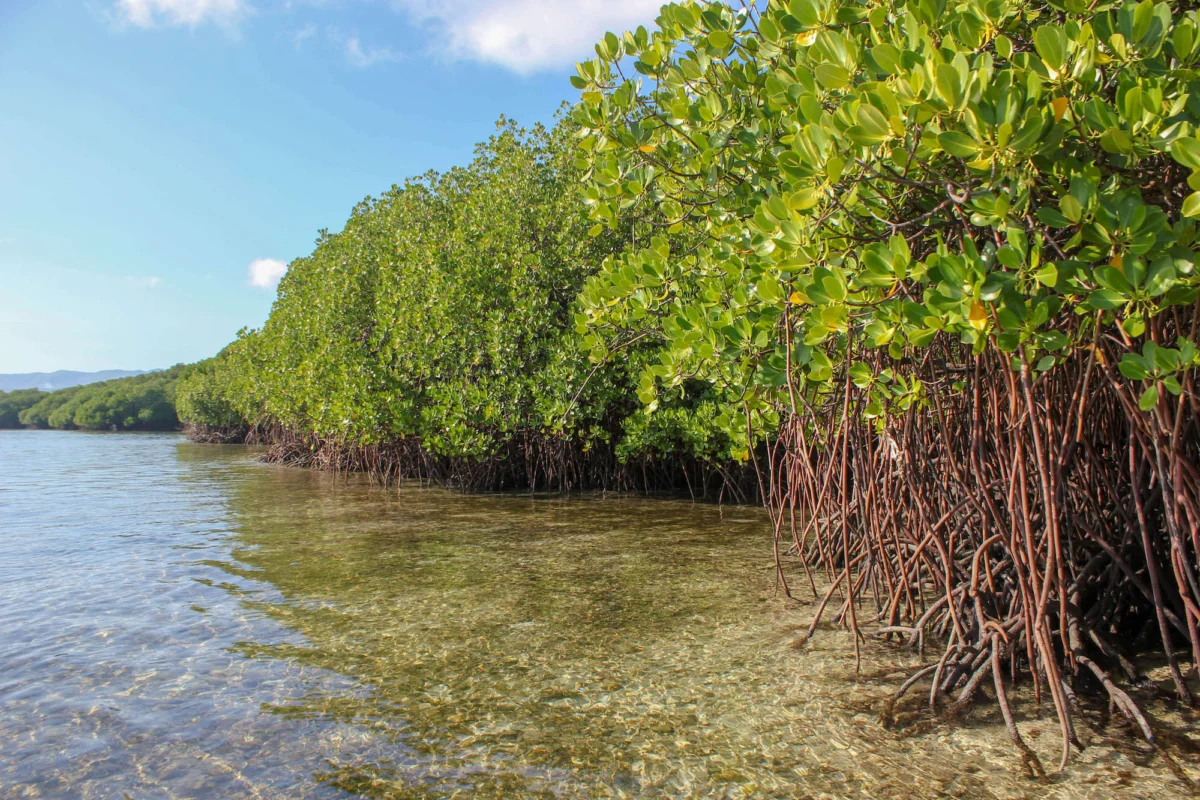
Decades of environmental anxiety surrounding the relentless destruction of the world’s vital coastal ecosystems have been tempered by a landmark scientific assessment. According to the latest data released by Global Mangrove Watch (GMW)—a premier mapping platform backed by international environmental organizations and space agencies—the Earth has experienced a net gain of 47,707 hectares of mangrove cover over the past forty years. This unexpected global expansion aligns with recent scientific literature indicating a gradual deceleration in deforestation and degradation rates, coupled with the measurable success of natural regeneration and targeted restoration initiatives worldwide.
However, beneath this optimistic global trajectory lies a complex environmental reality. The unprecedented analytical power of GMW version 4.1 exposes a stark geographic divide, contrasting significant recovery in specific nations with profound, ongoing losses in others. Furthermore, scientists warn that a portion of the recorded mangrove expansion may be driven by unintended environmental consequences, such as upstream industrial and agricultural disturbances altering river and delta hydrology.
As climate change accelerates sea-level rise and intensifies extreme weather events, understanding the dual narrative of global mangrove dynamics has never been more critical. The updated data not only refines our ecological baseline but equips policymakers, conservationists, and indigenous communities with unprecedented technological tools to safeguard the remaining 147,283 square kilometers of mangrove forests currently existing across 128 countries and territories.
A Four-Decade Timeline of Global Mangrove Monitoring
The journey toward understanding the true extent of the planet’s mangrove forests spans several decades of technological evolution in Earth observation.
During the late 20th century, coastal conservation was largely hampered by a lack of precise baseline data. Localized studies pointed to widespread destruction driven by aquaculture conversion, coastal infrastructure development, and timber extraction. To address this blind spot, researchers and space agencies began pooling resources to monitor these inaccessible intertidal zones.
By the mid-1990s, international coalitions formed to systematically track mangrove ecosystems. Early remote sensing models, primarily covering the period from 1996 to 2020, provided crucial macroscopic insights but lacked the granular detail necessary to detect fine-scale changes or evaluate the efficacy of local restoration projects.
The launch of the upgraded Global Mangrove Watch platform marks a monumental leap forward in this timeline. Expanding its temporal scope to cover the forty-year period from 1985 to 2025, GMW 4.1 integrates advanced machine learning algorithms, high-resolution satellite imagery, and rigorous ground-truthing. This evolution has elevated the accuracy of the baseline maps to an unprecedented 93 percent. Crucially, the latest iterations deliver baseline maps at a 10-meter resolution—offering six times the spatial detail of previous versions—while loss and recovery trackers operate at a 30-meter resolution, transforming reactive conservation into a proactive science.

Analyzing the Regional Divide: Gains and Losses
A granular examination of the GMW dataset reveals a striking disparity between national trajectories over the past four decades. While some nations have successfully reversed historical degradation, others continue to struggle against immense human and climatic pressures.
Among the countries registering the most remarkable net gains in mangrove cover since 1985 are Australia, which expanded its mangrove footprint by 1,396 square kilometers, and India, which added 1,180 square kilometers. Other notable beneficiaries of this expansion include the Philippines (473 square kilometers), Pakistan (439 square kilometers), and Senegal (349 square kilometers). These successes are frequently attributed to robust national reforestation policies, strict legal protections, and favorable hydrological shifts.
Conversely, the data underscores alarming cumulative losses in other critical regions. Indonesia, home to the largest expanse of mangroves on Earth, has recorded a net loss of 2,043 square kilometers since 1985. Significant declines were also documented in Myanmar (1,457 square kilometers), Malaysia (389 square kilometers), and Nigeria (312 square kilometers). These reductions have been driven by a combination of anthropogenic factors—such as agricultural expansion, urban sprawl, and aquaculture—alongside severe climatic disruptions.
Nevertheless, there is cautious room for optimism. In several hard-hit countries, including Indonesia, the rate of mangrove loss has decelerated markedly since 2015, pointing toward stabilization driven by heightened regulatory oversight and growing international climate commitments. Furthermore, the latest mapping initiative successfully identified previously unmapped mangrove ecosystems across two additional countries and four territories, expanding the global inventory to 128 jurisdictions and providing vital baseline data for vulnerable small island developing states.
Technological Revolution in Conservation: The Power of GMW 4.1
The transformational impact of the updated Global Mangrove Watch platform lies in its capacity to bridge the gap between macro-level policy and grassroots implementation. Featuring an overall accuracy rating of 93 percent, the tool empowers local actors with unprecedented monitoring capabilities.
Lammert Hilarides, GMW Programme Lead at Wetlands International, underscored the practical significance of these technological upgrades. "The unprecedented accuracy of the upgraded Global Mangrove Watch is transforming our understanding of mangroves at global and local levels—and revolutionizing our ability to protect and restore them," Hilarides stated. "With its unmatched data and unique alert system, this world-leading tool is now even more powerful, enabling relevant authorities, communities, and conservationists to plan mangrove activities more effectively and to react to illegal clearing as it happens—even in remote areas beyond the reach of routine surveillance."
Field managers and policymakers can now detect minute reductions in canopy cover at a local scale. The introduction of monthly updated mangrove loss alerts allows authorities to pinpoint the exact location and driver of ecological degradation almost in real-time, facilitating immediate preventative interventions. Furthermore, local stakeholders can subscribe to customized deforestation alerts tailored exclusively to their respective geographic areas of interest.

The Ecological Imperative: Why Mangroves Matter
The global push to protect the remaining 147,283 square kilometers of mangrove forests is underpinned by their disproportionate ecological value. Occupying the narrow interface between land and sea, these halophytic forests deliver irreplaceable ecosystem services that directly impact human well-being, biodiversity, and global climate stability.
Foremost among these functions is climate mitigation. Mangroves are among the most intensive carbon sinks on the planet, sequestering carbon in their biomass and underlying soils at rates up to four times higher per hectare than mature terrestrial tropical forests. As carbon dioxide emissions continue to drive global temperature increases, preserving these "blue carbon" reservoirs is an essential component of international climate mitigation strategies.
Beyond carbon sequestration, mangroves serve as frontline defense systems for coastal communities. Their dense network of roots and trunks dissipates wave energy, buffering low-lying shorelines against catastrophic storm surges, tropical cyclones, and rising sea levels associated with climate change. For densely populated coastal regions across the tropics, thriving mangrove belts represent the difference between resilience and devastation.
Furthermore, these ecosystems are cradles of marine and terrestrial biodiversity. They provide essential breeding, nursery, and feeding grounds for a vast array of fish species, crustaceans, and mollusks, thereby sustaining local food security and supporting the livelihoods of millions of coastal fishers and indigenous communities. They also maintain critical ecological connectivity with adjacent marine habitats, such as coral reefs and seagrass meadows.
Deconstructing the Growth: Natural Regrowth Versus Upstream Disturbances
While the net global gain of 47,707 hectares is fundamentally encouraging, scientists emphasize the need for rigorous analysis regarding the underlying drivers of this expansion.
The data confirms that a substantial portion of the new mangrove cover stems from genuine ecological recovery, propelled by natural regeneration and targeted afforestation initiatives. However, mounting scientific evidence regarding the historical failure of large-scale, top-down tree-planting projects—which frequently utilized inappropriate species or neglected local hydrology—has shifted the conservation paradigm toward community-based ecological restoration. This best-practice approach prioritizes the restoration of natural tidal connectivity, allowing degraded areas to recover organically with minimal artificial intervention.
Intriguingly, researchers have also identified a more complex, ironic driver behind certain regional gains: human disturbances outside the coastal zone. Observations indicate that some of the most prominent mangrove expansions are occurring around river deltas and estuaries fed by watersheds subjected to intensive upstream human activities, such as large-scale deforestation, mining, and intensive agriculture.
These upstream disruptions fundamentally alter the hydrological and sediment dynamics of river systems, increasing the volume of sediment and nutrients discharged into coastal zones. Consequently, mangrove forests are effectively expanding outward into newly formed sediment deposits at river mouths—meaning that, in some regions, the proliferation of coastal mangroves is an unintended consequence of environmental degradation occurring miles inland.
Implications for Global Policy and Future Action
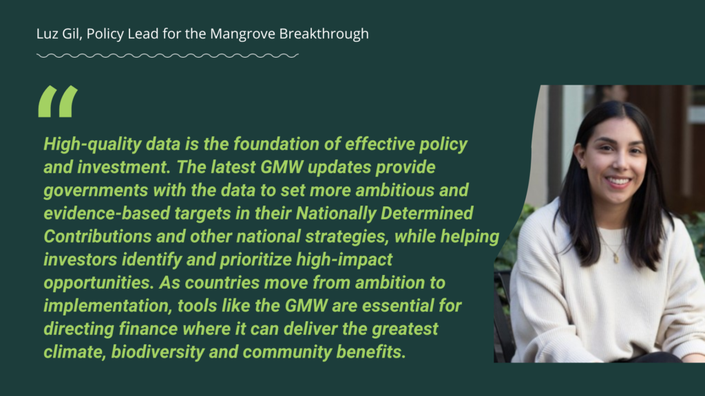
The release of the Global Mangrove Watch 4.1 dataset arrives at a critical juncture for international environmental governance. As nations prepare to update their nationally determined contributions (NDCs) under the Paris Agreement and implement the Kunming-Montreal Global Biodiversity Framework, access to high-resolution, verifiable data provides an indispensable foundation for policy formulation.
For national governments, the data highlights the urgent need to integrate mangrove management into broader coastal zone planning and climate adaptation frameworks. Countries experiencing ongoing net losses, such as Indonesia and Myanmar, face heightened vulnerabilities to extreme weather events and economic losses in fisheries, necessitating stricter enforcement of environmental protections and spatial planning laws. Conversely, nations exhibiting strong recovery trends, such as Australia, India, and the Philippines, offer valuable case studies in effective conservation governance and community engagement.
For small island developing states—where mangrove ecosystems are often limited in total area yet play an existential role in protecting fragile shorelines and connecting with vital coral reef systems—the updated baseline maps provide the precise spatial data required to secure climate finance and prioritize local conservation expenditures.
Collaboration Behind the Lens
The success and ongoing refinement of the Global Mangrove Watch platform represent a triumph of international scientific cooperation. GMW functions as the primary evidence base informing the Global Mangrove Alliance, synthesizing decades of research and technological development from a diverse coalition of local and international environmental organizations, research institutions, and space agencies.
Key institutional contributors to the initiative include Wetlands International, The Nature Conservancy, SoloEO, Aberystwyth University, the Japan Aerospace Exploration Agency (JAXA), NASA, the World Wide Fund for Nature (WWF), and the International Union for Conservation of Nature (IUCN). Furthermore, the platform’s sustained operation and technological evolution are made possible through the generous financial and strategic support of philanthropic foundations, including the Oak Foundation, the COmON Foundation, GreenChoice, DOB Ecology, and the Dutch Postcode Lottery.
As the international community grapples with the cascading crises of climate change and biodiversity loss, the enhanced capabilities of Global Mangrove Watch 4.1 offer a powerful antidote to ecological fatalism. By illuminating both the fragile vulnerabilities and the remarkable resilience of the world’s mangrove forests, the initiative arms humanity with the precise empirical tools required to secure these vital ecosystems for generations to come.
