
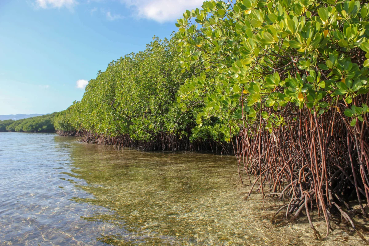
For decades, environmental scientists, coastal communities, and international policymakers have viewed the state of the world’s mangrove forests with profound anxiety. Often caught in the crosshairs of rapid coastal development, aquaculture expansion, and the escalating impacts of climate change, these vital intertidal ecosystems have long been perceived as a casualty of modern human progress. However, an unprecedented and high-precision mapping initiative has delivered a surprisingly optimistic counter-narrative. The updated Global Mangrove Watch (GMW) version 4.1 has revealed a net global gain of 47,707 hectares of mangrove cover over the past forty years, upending long-held assumptions about the inexorable decline of these coastal powerhouses.
While this global net gain provides a much-needed beacon of hope for environmental conservation, a closer examination of the data uncovers a complex and polarized reality. The overall positive trajectory successfully masks significant, ongoing losses in some of the planet’s most ecologically critical mangrove nations. Furthermore, the underlying drivers of this unexpected global expansion raise critical questions about human interference in natural hydrological systems. As conservationists digest the upgraded data, the findings underscore both the remarkable resilience of mangroves and the urgent need for nuanced, localized management strategies rather than generalized global targets.
Technological Leap: Unprecedented Accuracy in Coastal Monitoring
The revelations stem from GMW 4.1, a cutting-edge, free-to-use geospatial platform that has revolutionized how scientists and local authorities observe coastal environments. Boasting an estimated baseline accuracy of 93 percent, the updated tool represents a massive technological leap forward from previous iterations. This dramatic improvement in precision is the result of rapid advancements in machine learning algorithms, higher-resolution satellite imagery, continuous user feedback, and sophisticated data refinements.
The new baseline maps, which track mangrove extent through 2025, are produced at a remarkable 10-meter resolution. This level of detail provides six times the spatial granularity of previous versions, allowing field managers to identify even the smallest, fragmented mangrove patches. Concurrently, maps tracking historical mangrove loss and recovery are now available at a 30-meter resolution, extending the observational timeline from 1985 to 2025—a substantial expansion from the previous 1996 to 2020 monitoring window.
This technological evolution also expanded the geographic footprint of documented mangroves. The latest update successfully mapped previously unrecorded mangrove areas, officially adding two new countries and four territories to the global inventory. This brings the total number of recognized mangrove-hosting nations and territories worldwide to 128. For small island developing states, where mangrove ecosystems are limited in area but disproportionately vital for buffering coastal infrastructure and connecting with adjacent coral reefs, these high-resolution updates offer an invaluable resource for targeted local conservation.

A Four-Decade Chronicle: Mapping the Gains and Losses
To understand the current state of global mangroves, researchers examined a comprehensive four-decade timeline stretching from 1985 to 2025. This long-term perspective reveals stark regional disparities in how mangrove ecosystems have fared under the combined pressures of human activity and changing climatic conditions.
On the positive side of the ledger, several nations have registered remarkable expansions in mangrove cover over the last forty years. Australia leads the expansion with a staggering gain of 1,396 square kilometers, followed closely by India, which added 1,180 square kilometers. Other notable success stories include the Philippines, which recorded an increase of 473 square kilometers; Pakistan, with a gain of 439 square kilometers; and Senegal, which added 349 square kilometers to its coastline. These successes are increasingly attributed to a combination of natural regrowth, favorable sedimentation processes, and deliberate national afforestation and ecological restoration initiatives.
Conversely, the data lays bare severe and persistent losses in other critical regions. Indonesia, which houses the largest expanse of mangroves on Earth, has experienced a net loss of 2,043 square kilometers since 1985. Myanmar follows with a decline of 1,457 square kilometers, alongside notable reductions in Malaysia (389 square kilometers) and Nigeria (312 square kilometers). These declines have historically been driven by intensive human pressures, including the conversion of intertidal zones for aquaculture ponds, agricultural expansion, urban development, and severe weather events associated with a changing climate.
However, the longitudinal data also highlights encouraging signs of stabilization. Since approximately 2015, the rate of mangrove loss has slowed significantly in several historically vulnerable countries, such as Indonesia, indicating that tighter domestic environmental regulations, improved enforcement, and heightened global awareness are beginning to bend the curve.
The Paradox of Growth: Natural Regrowth Versus Upstream Destruction
While the global net gain of nearly 48,000 hectares is a cause for celebration, environmental scientists emphasize the need for rigorous analysis regarding what is actually fueling this expansion. The growth is not merely the result of concerted planting efforts; it is a complex ecological response shaped by both proactive conservation and ironic unintended consequences.
Historically, mass tree-planting campaigns have frequently fallen short of expectations, often failing to establish functional, biodiverse mangrove forests due to poor species selection, inappropriate site placement, and a lack of community engagement. However, the GMW data increasingly highlights the efficacy of community-based ecological restoration—an approach that prioritizes restoring natural tidal connectivity, repairing hydrological pathways, and allowing nature to heal itself. When hydrology is restored, natural regrowth often outperforms artificial planting by a wide margin.

At the same time, scientists have identified a troubling paradox regarding where much of this new mangrove growth is occurring. A significant portion of the observed expansion is concentrated around major river mouths and coastal deltas. Researchers suggest that these gains may, in some instances, be driven by destructive human activities taking place far upstream. Deforestation, intensive mining, and large-scale land-use changes in interior river basins dramatically alter water flow regimes and accelerate sediment discharge into coastal waters. As massive quantities of sediment wash downriver, they create new mudflats and shallow deposition zones in coastal estuaries—ideal environments for pioneer mangrove species to colonize. In essence, mangrove forests are expanding in certain coastal zones precisely because terrestrial forests and river catchments upstream are being degraded and eroded.
The Indispensable Value of Mangrove Ecosystems
The necessity of safeguarding the world’s remaining 147,283 square kilometers of mangrove forests cannot be overstated. These unique coastal ecosystems provide an irreplaceable array of ecological, economic, and climatic services that directly benefit both human societies and natural biodiversity.
From a climate mitigation perspective, mangroves are among the most intensive carbon sinks on the planet. Often referred to as "blue carbon" ecosystems, they sequester carbon at rates up to four times higher per hectare than typical terrestrial tropical rainforests, storing vast quantities of organic carbon in their deep, anaerobic underwater soils for centuries. Protecting these carbon stores is vital for meeting global climate stabilization targets.
Beyond carbon sequestration, thriving mangroves serve as the ultimate frontline defense for coastal communities. By absorbing wave energy, reducing the impact of storm surges, and mitigating coastal erosion, they protect millions of people and billions of dollars in infrastructure from the escalating threats of sea-level rise and extreme weather events driven by climate change. Furthermore, mangroves act as indispensable nurseries for a vast array of marine life, sustaining global fisheries, supporting local food security, and underpinning the livelihoods of millions of coastal residents worldwide.
Official Responses and Strategic Implications
The release of GMW 4.1 has drawn praise from conservation leaders and international environmental organizations, who view the upgraded platform as a game-changer for operational conservation.
"The unprecedented accuracy of the upgraded Global Mangrove Watch is transforming our understanding of mangroves at global and local levels—and revolutionizing our ability to protect and restore them," stated Lammert Hilarides, GMW Programme Lead at Wetlands International. "With its unmatched data and unique alert system, this world-leading tool is now even more powerful, enabling relevant authorities, communities, and conservationists to plan mangrove activities more effectively and to react to illegal clearing as it happens—even in remote areas beyond the reach of routine surveillance."
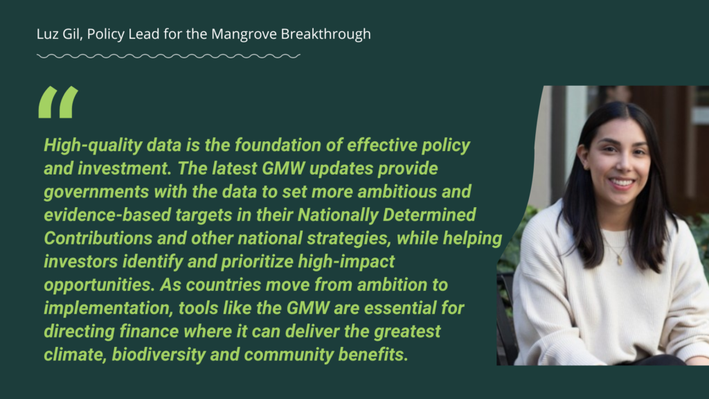
Hilarides highlighted the practical applications of the new data infrastructure for on-the-ground practitioners and policymakers. "With our higher-resolution maps, field managers and policymakers can detect reductions of mangrove cover at a local scale," he explained. "For example, with monthly updated mangrove loss alerts, they can investigate the location and cause of mangrove decline quickly and take necessary actions to prevent further losses. Users can now also subscribe and receive deforestation alerts just for their own mangrove area."
This real-time surveillance capability bridges a historical gap in coastal management. Previously, illegal logging, land conversion, and localized degradation often went unnoticed until significant damage had already occurred, largely due to the logistical challenges of monitoring vast, remote, and often inaccessible intertidal zones. By putting high-resolution monitoring tools and automated alerts directly into the hands of local communities and enforcement agencies, GMW 4.1 shifts the paradigm from reactive damage assessment to proactive, preventive conservation.
Collaborative Foundation and Future Outlook
The success and continuous evolution of the Global Mangrove Watch platform are the culmination of years of rigorous, cross-sector collaboration. The initiative serves as the core evidence base informing the Global Mangrove Alliance, uniting local and international scientific bodies, research institutions, conservation NGOs, and philanthropic foundations. Key contributors and partners behind the platform include Wetlands International, The Nature Conservancy, SoloEO, Aberystwyth University, the Japan Aerospace Exploration Agency (JAXA), NASA, the World Wide Fund for Nature (WWF), and the International Union for Conservation of Nature (IUCN). Generous financial and strategic support has been provided by the Oak Foundation, the COmON Foundation, GreenChoice, DOB Ecology, and the Dutch Postcode Lottery.
As the international community looks toward future climate and biodiversity milestones, the findings from Global Mangrove Watch 4.1 deliver both a cautious endorsement of ongoing conservation efforts and a stark warning against complacency. The net global gain of nearly 48,000 hectares proves that reversing environmental degradation is possible when science, policy, and community action align. However, with historical losses continuing to impact major ecological hubs and the complex drivers of modern growth demanding careful scrutiny, the ultimate survival of the world’s remaining mangroves will depend entirely on how effectively humanity utilizes these advanced tools to defend the coastlines of tomorrow.
