
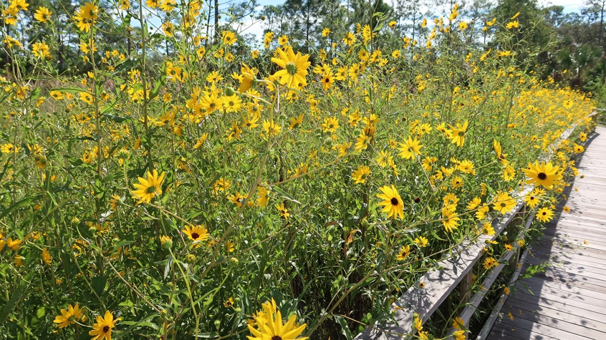
The region has faced a protracted period of hydrological stress since November 2024, but a significant shift in precipitation patterns during September 2026 has provided a modest, yet welcome, reprieve. Data released by local meteorological monitoring stations indicates that the area received 9.46 inches of rain throughout the month. This total is 13 percent above the historical average for September, marking only the second time in nearly two years that monthly rainfall has exceeded long-term norms. While this recent infusion of moisture is a positive development for local ecosystems, hydrologists caution that it represents only a small step toward recovery from a cumulative 23-month rainfall deficit that currently stands at 29.5 inches.
A Chronology of the Drought Crisis
The current drought cycle began in earnest in late 2024. For the past 23 months, the region has been trapped in a pattern of below-average precipitation, leading to a significant depletion of soil moisture and surface water levels. Throughout 2025 and the first half of 2026, the area saw a consistent failure to meet seasonal rainfall benchmarks, which forced local water management authorities to implement various conservation protocols.
By August 2026, the situation reached a critical juncture. Water levels at key monitoring sites plummeted, bottoming out near historic lows. These levels sparked concerns among agricultural stakeholders and environmental conservationists alike, as the lack of groundwater recharge began to impact local vegetation and wildlife habitats.
The onset of the 2026 rainy season in June offered some hope, though it initially struggled to gain momentum. Since the start of that season, the region has recorded 29.89 inches of rain. While this figure might appear substantial in isolation, it represents only 77 percent of the average rainfall typically recorded by this point in the year. The September spike, while statistically significant, was the first major deviation from this trend of underperformance.
Current Hydrological Status and Meteorological Analysis
The impact of the September rains has been measurable in the region’s water management gauges. The B-Gauge, a primary instrument for tracking standing water levels, currently reflects a depth of 2.2 feet above ground level. This represents a tangible improvement from the dire conditions observed in August, moving the region’s water status just above the historic minimum for this time of year.
The meteorological context for this improvement is twofold. First, the localized increase in precipitation helped mitigate the total deficit by exactly one inch. Second, the current seasonal shift is playing a natural role in water retention. As the region transitions into the autumn months, shorter daylight hours and lower light intensity have initiated a physiological response in local flora.
Cooler temperatures and reduced sunlight have slowed the rate of photosynthesis in native vegetation. This, in turn, has led to a significant decrease in transpiration—the process by which plants release water vapor through their leaves. With the rate of transpiration reduced, the demand on groundwater and soil moisture has lessened. This "dormancy effect" is currently helping to stabilize the moisture levels in the earth, preventing the rapid evaporation that characterized the summer months.
The Role of Global Climate Patterns: The Super El Niño Forecast
While the recent rainfall provides a necessary buffer, long-term relief remains tethered to broader global climate phenomena. Climatologists and regional meteorological agencies are closely monitoring the emergence of a projected "Super El Niño" event. These events, characterized by the warming of sea surface temperatures in the equatorial Pacific, often have profound effects on global weather patterns.
In this region, a strong El Niño phase typically correlates with increased storm frequency and higher-than-average precipitation during the winter months. If the current projections for a Super El Niño hold true, the region may experience a sustained increase in rainfall over the next several months. Experts suggest that such a pattern is the most viable path to erasing the remaining 29.5-inch deficit.
However, meteorologists emphasize that "Super" events are complex and do not guarantee a uniform distribution of rain. The timing of storm systems and their tracks will determine whether the potential increase in precipitation translates into effective groundwater recharge or simply results in transient surface runoff.
Implications for Agriculture and Local Infrastructure
The persistence of a 23-month drought has left the region’s infrastructure and agricultural sectors vulnerable. Farmers who rely on surface water for irrigation have faced increased costs and lower yields over the last two years. The brief reprieve in September is unlikely to fully restore aquifers to their pre-2024 status, meaning that water usage efficiency remains a priority.
Environmental analysts have also pointed out the impact on local wetlands and forest health. The stress caused by two years of inadequate moisture has made some native species more susceptible to disease and pests. While the September rain has provided a necessary "drink" for the ecosystem, the long-term health of these habitats will depend on a sustained return to average or above-average rainfall throughout the coming winter.
From an administrative perspective, local water authorities are expected to maintain their current drought-monitoring status until the impact of the winter season becomes clear. Official guidance continues to encourage responsible water consumption, as the margin for error remains thin. Even if the winter brings the forecasted rains, the replenishment of deep-layer groundwater reservoirs is a slow process that cannot be achieved by a single, or even a double, month of heavy precipitation.
Looking Ahead: Scientific Perspective
The data collected from the 2026 rainy season highlights the volatility of the regional climate. While the 9.46 inches of rain in September serves as an encouraging data point, it serves as a reminder of the deficit magnitude. To understand the significance of the 29.5-inch deficit, one must look at the cumulative effect on regional water security. Over the past two years, the absence of this water has affected everything from municipal reservoir capacity to the moisture content of the topsoil, which is critical for wildfire mitigation and agricultural resilience.
As the region moves into the winter months, the focus will shift from immediate precipitation totals to the effectiveness of the potential El Niño-driven storms. If the anticipated weather pattern fails to materialize, or if it produces less rainfall than modeled, the region may face a continuation of drought conditions into 2027. This would necessitate a more aggressive review of water management policies and potential long-term infrastructure investment to ensure a more reliable water supply during lean years.
In summary, while September 2026 has provided a statistically significant break in a long-standing dry spell, the region remains in a state of hydrological recovery. The combination of reduced biological water demand due to seasonal cooling and the potential for a favorable winter climate provides a cautious sense of optimism. However, until the cumulative deficit is substantially reduced, the area remains susceptible to the ongoing impacts of the multi-year drought. Authorities and residents are advised to remain vigilant, acknowledging that while the worst of the immediate crisis may have passed, the path to full hydrological recovery is still in its early stages.
As the winter approaches, the meteorological community will continue to provide updates, with a specific focus on the Pacific sea surface temperatures and the resulting atmospheric teleconnections. These updates will be critical for agricultural planners, municipal water managers, and the public as they navigate the remainder of this cycle. For now, the region benefits from the recent rainfall, marking a potential turning point in what has been a difficult two-year period for the local environment and the economy.
