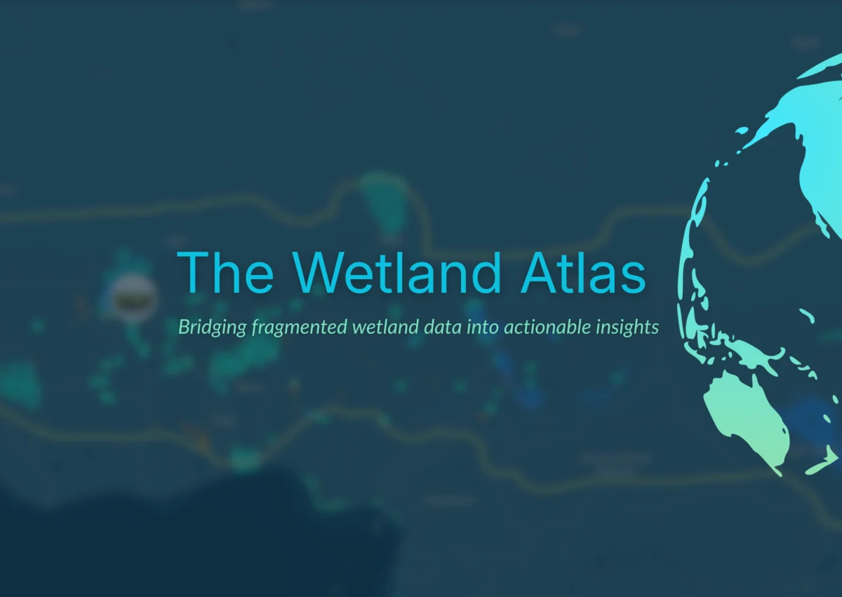
Netherlands, April 9, 2026 – In a significant move to address the escalating global crisis of wetland degradation, Wetlands International today unveiled the Wetland Atlas, a comprehensive, online platform designed to illuminate the critical value of these vital ecosystems and catalyze much-needed investment for their protection and restoration. The launch comes at a time when wetlands worldwide continue to vanish at an alarming rate, a trend that jeopardizes water and food security, exacerbates climate change impacts, contributes to biodiversity loss, and hinders sustainable development goals.
The Wetland Atlas aims to cut through the "data fog" that has historically obscured the true extent and multifaceted benefits of wetlands, thereby impeding effective decision-making and investment. By providing clear, up-to-date, and easily accessible data and analyses, the platform seeks to unlock new avenues for action and funding from governments, businesses, and investors, accelerating the pace of conservation efforts.
The Urgency of Wetland Conservation: A Stark Reality
Wetlands, encompassing freshwater and coastal ecosystems, are indispensable to human well-being and planetary health. They act as natural filters for water, regulate floodwaters, support diverse agricultural systems, and play a crucial role in carbon sequestration. However, the statistics paint a grim picture. Since 1970, an estimated 22% of the world’s freshwater and coastal wetlands have been lost, and a quarter of the remaining wetlands are now degraded. This staggering loss has profound implications, undermining the very foundations of our societies and economies.
Despite ambitious global targets and the existence of viable solutions, action and funding for wetland protection and restoration consistently fall short of what is critically needed. A primary impediment to bridging this gap has been the lack of consolidated, transparent, and actionable data. The Wetland Atlas is strategically developed to directly confront this challenge.
A Vision for Clarity and Action: The Wetland Atlas Explained
The Wetland Atlas is envisioned as a transformative tool that will "open up a whole new world of wetlands," according to Coenraad Krijger, CEO of Wetlands International. "It accurately maps different freshwater and coastal wetlands and their diverse values, and guides public and private funders to invest in conservation projects that will yield the greatest returns for people, nature, and climate," Krijger stated. He further emphasized that while not a singular solution, the platform is poised to "transform how governments, businesses, and financial institutions value wetlands, and invest in their protection and restoration."
Currently, wetland data is notoriously fragmented, siloed, inconsistent, and incomplete. This lack of cohesive information makes it exceedingly difficult for stakeholders to understand the landscape, identify priority areas for intervention, and justify investments. The Wetland Atlas endeavors to bridge this critical gap by consolidating available information into a single, accessible hub.
Bridging the Data Divide: A Comprehensive Approach
The platform’s innovation lies in its integration of diverse data streams. By combining biophysical information (such as wetland extent, type, and condition), socio-economic data (detailing the benefits wetlands provide to communities, like water supply and fisheries), and policy-relevant information (outlining existing conservation frameworks and legal protections), the Wetland Atlas empowers governments, donors, and investors to prioritize actions with the greatest potential impact.
Francesca Antonelli, Freshwater Lead at Wetlands International, highlighted the platform’s user-centric design. "Different decision-makers will come to the platform with different questions, but the goal is always the same: help them make faster, better-informed decisions and so accelerate wetland action," she explained. "Instead of searching in confusion and frustration across multiple disconnected sources, public and private decision-makers will be able to explore one integrated platform. Instead of raw datasets, they will see structured insights that genuinely guide their decisions and investments. Instead of uncertainty, they will gain clarity on where to act, and why."
Focus on Vulnerable Regions: The Sahel and Horn of Africa
While the Wetland Atlas is designed for global scalability, its initial rollout strategically focuses on the Sahel and the Horn of Africa. These regions are increasingly vulnerable to the impacts of climate change and environmental degradation, and investing in healthy rivers, lakes, and other wetlands is paramount to enhancing water and food security, as well as ensuring peace and security.
The inclusion of these regions is particularly timely. The Sahel, for instance, faces significant challenges related to desertification, water scarcity, and conflict, all of which are intricately linked to the health of its wetlands. Similarly, the Horn of Africa is grappling with recurrent droughts and food insecurity, where functioning wetlands are a crucial buffer against such shocks.
Voices from the Ground: Anticipating Impact
The anticipation for such a tool is palpable among those working directly on wetland conservation in these critical areas. Karounga Keita, Regional Director for the Sahel at Wetlands International, expressed his long-held need for such a resource. "I have been waiting for a tool like this for years – the first detailed, up-to-date map of the wetlands across this vast and diverse region," Keita stated. "Healthy wetlands are the key to reducing conflict and disaster risk in the Sahel: now we can show where action and investments will reap the greatest benefits for vulnerable communities – and help to build resilience and stability."
Keita’s statement underscores the direct link between wetland health and human security, particularly in regions prone to environmental stress and social instability. The Wetland Atlas promises to provide the empirical evidence needed to advocate for and direct resources towards interventions that yield tangible benefits for both ecosystems and communities.
A Legacy of Innovation and Collaboration
The development of the Wetland Atlas builds upon Wetlands International’s extensive track record of collaborative efforts and pioneering work in wetland science and conservation. The organization has a rich history of partnerships on cutting-edge research, influential policy advocacy, citizen science initiatives, and the development of innovative mapping tools. These include established platforms such as the Global Mangrove Watch, the Critical Sites Network Tool, the Waterbird Populations Portal, and the International Waterbird Census, all of which have contributed significantly to understanding and protecting wetland ecosystems.
Furthermore, the Wetland Atlas represents a significant complementary step in supporting the objectives of the GEO-Wetlands partnership. This global collaboration aims to provide stakeholders and users with Earth Observation-based mapping, monitoring, inventory, and assessment of wetlands, operating under the auspices of the Ramsar Convention on Wetlands, an international treaty for the conservation and wise use of wetlands.
Open Access and Continuous Evolution
A cornerstone of the Wetland Atlas’s philosophy is its commitment to open-access principles. The platform is built on data drawn from a combination of published research, global and national databases, partner contributions, new data collection, and user input. This open approach ensures that the information is accessible to a wide range of stakeholders, fostering broader engagement and collaboration. The platform is designed to be dynamic, continuously evolving as new data becomes available and user feedback is incorporated.
Empowering Decision-Making: Key Features of the Atlas
The Wetland Atlas is meticulously designed as a decision-support platform, equipping users with the insights needed to make informed choices. Its key functionalities are intended to help users:
- Identify and Characterize Wetlands: Provide detailed information on the location, extent, type, and characteristics of wetlands across different scales.
- Assess Wetland Values and Benefits: Quantify and qualify the diverse services wetlands provide, including water purification, flood control, carbon sequestration, biodiversity support, and livelihoods.
- Map Threats and Pressures: Identify and visualize the drivers of wetland degradation, such as pollution, unsustainable agriculture, infrastructure development, and climate change impacts.
- Prioritize Conservation and Restoration Actions: Guide users in selecting the most effective interventions based on ecological significance, socio-economic benefits, and feasibility.
- Track Progress and Monitor Change: Enable the monitoring of wetland status and trends over time, facilitating adaptive management and accountability.
- Inform Policy and Planning: Provide evidence-based data to support the development and implementation of effective wetland conservation policies and land-use planning.
- Facilitate Investment and Funding: Offer compelling data and analyses to attract and direct public and private investment towards high-impact wetland conservation projects.
Collaborative Development and Future Aspirations
The development of the Wetland Atlas was a collaborative endeavor, benefiting from the technical expertise of Aberystwyth University and the innovative tool design by Vizzuality. The project also received generous support from donors advised by Effektiv-Spenden.
Looking ahead, Francesca Antonelli reiterated the significance of the launch. "Today’s launch is a milestone on the path to a better, collective understanding that will help transform global efforts to safeguard the world’s remaining wetlands, but it is just the start," she stated. "No single organization can drive this alone – that is why we have been working with partners since the start and why we invite all potential partners and donors to join us to collectively invest in the next phases of the Wetland Atlas."
This call for continued partnership and investment underscores the ambitious nature of the Wetland Atlas and its potential to become a cornerstone of global wetland conservation efforts. By fostering greater transparency, accessibility, and data-driven decision-making, the platform is poised to play a pivotal role in reversing the alarming trend of wetland loss and ensuring these invaluable ecosystems thrive for generations to come. The future of water security, climate resilience, and biodiversity hinges on the effective protection and restoration of the world’s wetlands, and the Wetland Atlas represents a critical step towards achieving that future.
