
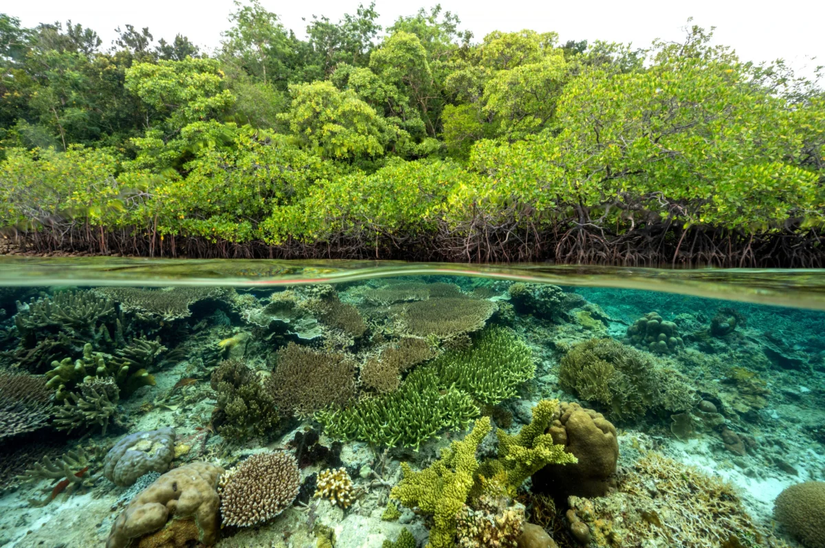
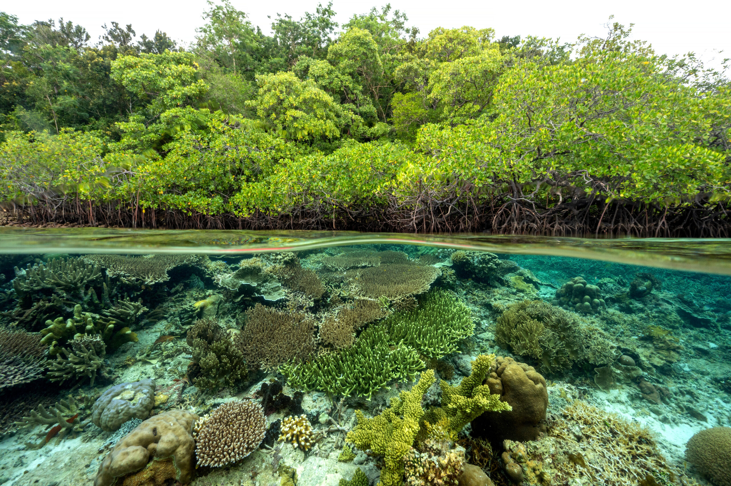
Ecuador stands globally renowned for its extraordinary biological wealth, a natural mosaic encompassing the dense emerald canopies of the Amazon jungle, the soaring peaks of the Andean highlands, and the volcanic isolation of the wildlife-rich Galápagos Islands. Yet, tucked quietly along the nation’s sprawling Pacific coastline lies an equally vital, though historically under-appreciated, ecosystem: magnificent mangrove forests spanning approximately 1,550 square kilometers—an area roughly equivalent to the size of Rome. These tidal forests serve as foundational ecological infrastructure, protecting delicate shorelines from severe storm surges, mitigating rising sea levels, and acting as formidable carbon sinks, capturing what is internationally classified as blue carbon.
However, this coastal shield has endured decades of heavy degradation. Since 1970, Ecuador has lost nearly 30% of its native mangrove coverage. Driven primarily by historic lapses in environmental planning, lax regulatory enforcement, and the rapid, unchecked expansion of industrial shrimp farming, these critical marine nurseries experienced severe fragmentation. Although modern technological innovations, improved regulatory frameworks, and more efficient farming techniques have substantially boosted the productivity of the contemporary shrimp sector—disproving the notion that conservation and commercial aquaculture must eternally clash—the threat of pollution, localized degradation, and a changing global climate continue to loom large over Ecuador’s coastal margins.
A Legal Foundation for Community Stewardship
Compensating for decades of historic loss, Ecuador now boasts some of the most robust legal and institutional frameworks for mangrove conservation in the Americas. These protective mechanisms are anchored firmly within the nation’s Constitution, reinforced by the Organic Environmental Code, and supported by a matrix of specific ministerial decrees that explicitly restrict commercial clearing, mandate active ecological restoration, and legally empower local populations through community-based stewardship.
These domestic priorities integrate seamlessly with international commitments, notably Ecuador’s Nationally Determined Contributions (NDCs) under the Paris Agreement and global biodiversity pledges to protect 30% of the planet’s land and marine areas by 2030 (30×30). Central to this legal architecture are mechanisms such as Custody and Sustainable Use of Mangrove Agreements (known locally as AUSCEMs) and "Socio Manglar," a mature, nationally embedded incentive program. Socio Manglar effectively channels public funds and international donor finance directly into community-based conservation, rewarding ancestral and traditional users who safeguard the forests while concurrently improving their local socioeconomic livelihoods.
The Global Mangrove Alliance and the $1.5 Million Grant
Recognizing the potency of Ecuador’s legal framework and the dedication of its traditional coastal populations, the Ecuador chapter of the Global Mangrove Alliance (GMA)—supported by a vital $1.5 million grant awarded last year—embarked on a transformative mission. The primary objective of this substantial funding is to develop, test, and deploy a comprehensive, community-driven early warning system designed to catch mangrove disturbances in real time before they result in permanent ecological loss.
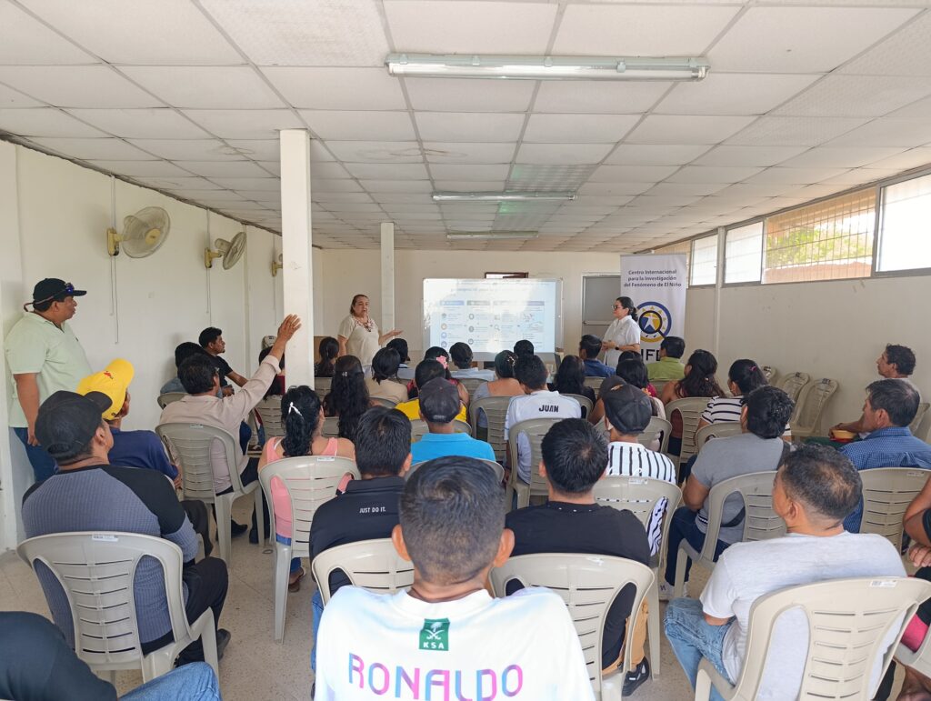
To bring this vision to life, The Nature Conservancy in Ecuador (TNC Ecuador), an active member of GMA Ecuador, forged a strategic partnership with the International Research Center on the El Niño Phenomenon (CIIFEN), an organization possessing deep, regional expertise in deploying advanced early warning platforms. CIIFEN collaborated directly with four pilot AUSCEM communities situated within the highly strategic and vulnerable Gulf of Guayaquil.
Rather than relying purely on top-down remote monitoring, the newly engineered initiative marries cutting-edge satellite intelligence with grassroots, field-based observations carried out by local mangrove custodians—the very people whose daily lives and traditions are intertwined with the health of the tidal forests.
Fusing Satellite Precision With Local Ground-Truthing
Set to officially roll out by the end of 2026, the early warning application integrates Global Watch (GMW) technology as its foundational satellite-monitoring engine. GMW serves as a continuous, global source of high-resolution satellite data, detecting subtle shifts in canopy cover and flagging anomalies known as Mangrove Disturbance Alerts (MDAs).
Through specialized web and mobile applications currently undergoing final optimization, these automated satellite alerts are transmitted directly to trained local custodians patrolling the Gulf of Guayaquil. In turn, these community members travel to the flagged coordinates to ground-truth and validate the alerts, verifying whether the satellite observation corresponds to illegal clearing, natural erosion, pollution, or pest outbreaks. This creates a vital feedback loop.

"Our goal is to create a two-way street: not only opening doors for more people to access Global Mangrove Watch, but also allowing GMW to benefit from communities’ insights," explains Sebastián Rivera Ruano, a full-stack developer working on the early warning platform.
This crowdsourced validation dramatically refines GMW’s underlying satellite algorithms, transforming abstract pixel data into actionable, hyper-local intelligence. However, developers emphasize that technology alone is insufficient to halt environmental degradation.
"One of the most important things about early warning systems is that we need them to be more than just technological platforms," notes Pier Luiggi Maquilón Lipari, a climate services developer in CIIFEN’s computer science division. "Protocols and coordination between stakeholders are of critical importance such that timely and coordinated action can be taken."
Institutional Backing and Strategic Integration
The momentum behind the CIIFEN-led early warning system has already captured the enthusiastic attention of national authorities, most notably the Subsecretaría Marino Costera y Oceánica (Undersecretariat for Marine, Coastal, and Oceanic Affairs). Government officials view the initiative as a welcome enhancement to national environmental oversight, building on previous efforts where GMW data was utilized to audit and validate official Ministry of Environment and Energy statistics concerning national mangrove extents.
For conservation scientists, the platform unlocks unprecedented analytical capabilities. "Some of the most useful information available on Global Mangrove Watch for me is data on mangrove blue carbon as well as national and regional climate policies," remarks Elba Alissie Fiallo Cobos, coordinator of the Coastal Marine Strategy at TNC Ecuador.
Her sentiments are echoed by Diana Carolina Espinoza Ramirez, a GIS specialist at CIIFEN: "Using Global Mangrove Watch we’ve identified areas requiring monitoring attention. Our hope is that this information can be used by the government to prioritise its mangrove protection and restoration policies."
TNC Ecuador actively champions this multi-stakeholder approach, uniting local grassroots associations, regional academic institutions, government ministries, and private sector actors under a shared umbrella of sustainable development. "At TNC Ecuador, we promote collaborative work among local communities, government authorities, academia, and the private sector to advance more sustainable development models that contribute to both mangrove conservation and human well-being, recognising that confrontation between conservation and production is not useful," Fiallo Cobos emphasizes.
Implementation Timeline and Future Outlook
As the project heads toward its official deployment deadline in late 2026, project coordinators are focusing heavily on capacity building to ensure the long-term sustainability and autonomy of the participating coastal communities. Alongside the rollout of the web and mobile applications, CIIFEN and its partners are conducting a rigorous series of in-person training workshops, supplemented by accessible video tutorials designed to empower local custodians with the technical confidence required to sustain the monitoring protocol independently.
The broader institutional backing of the Global Mangrove Watch initiative—managed globally by Wetlands International in close cooperation with The Nature Conservancy, SoloEO, and Aberystwyth University, and generously funded by the Postcode Loterij, Oak Foundation, COmON Foundation, Greenchoice, and Dob Ecology—ensures that the Ecuadorian pilot has access to world-class scientific backing and sustained international financial health.
Ultimately, by bridging the immense technological reach of orbital satellites with the deep ancestral knowledge of communities who have harvested crabs, gathered black-shelled conchas negras, and fished within the tidal forests for generations, Ecuador is pioneering a resilient blueprint for coastal conservation. As these early warning systems go live across the Gulf of Guayaquil, they offer a powerful empirical lesson for the rest of the world: safeguarding vulnerable ecosystems is most effective when cutting-edge science is placed directly into the hands of the people who call those ecosystems home.
