
For the residents of the small, historic communities surrounding the Cape Romain National Wildlife Refuge in South Carolina, the geography that defines their daily lives—the intricate tapestry of marshes, tidal creeks, and the sprawling Intracoastal Waterway—is increasingly becoming a source of existential anxiety. While this landscape provides the foundation for a heritage deeply rooted in Gullah Geechee culture, where descendants of enslaved Africans have maintained enduring ties to the land and water for generations, it is also the epicenter of a growing environmental crisis. As sea levels rise and the frequency of heavy rainfall events increases, these rural communities are finding themselves on the front lines of climate change, struggling to reconcile their cultural legacy with a rapidly shifting coastline.
A Landscape Under Siege
The challenges facing these communities are multifaceted. Historically, these areas relied on a network of man-made ditches to manage drainage. However, these aging systems are now woefully inadequate against the dual pressure of increased precipitation and higher-than-average tides. When the heavens open, the ditches quickly reach capacity, forcing water onto secondary roads and into residential properties. Concurrently, the loss of wetlands and the encroachment of urban development have stripped the coastal plain of its natural ability to absorb and store storm surge.
For residents, the fear of flooding is not merely theoretical; it is a persistent, daily reality that disrupts access to emergency services, inhibits travel to work and school, and causes significant property damage. The psychological toll is profound, as families are forced to gauge the severity of every storm, wondering if their homes will remain dry or if they will be cut off from the mainland.
A Legacy of Trauma: The Hugo Benchmark
The community’s awareness of its vulnerability is inextricably linked to the devastation of Hurricane Hugo in 1989. The Category 4 storm, which decimated much of the South Carolina coast, remains the singular point of reference for residents in the Cape Romain area. Interviews with local elders and long-term residents reveal that the storm did more than destroy buildings; it fundamentally altered the hydrology of the region.
Tommy Colleton, a Navy veteran and lifelong resident of Tibwin, recalls the harrowing experience of his sister being trapped within the gymnasium of Lincoln High School in McClellanville as floodwaters breached the building. Barbara Singleton, a retired educator, remembers the terror of holding her children close as the waters rose toward her home. In the aftermath of Hugo, the region was left with thousands of tons of storm debris, much of which was never properly cleared from the canal systems. This neglected infrastructure remains a critical factor in today’s flooding, acting as a bottleneck that prevents the efficient drainage of storm runoff.
The Collaborative Path: A Shift in Strategy
Recognizing that individual advocacy was failing to yield systemic results, community leaders joined forces with Audubon South Carolina to initiate a comprehensive, bottom-up approach to resilience. Rather than imposing top-down engineering solutions, the partnership prioritized a "listening first" philosophy. Under the guidance of Sherri Fields, conservation director at Audubon South Carolina, the project sought to document local knowledge, identifying where the water travels, which roads consistently flood, and how the landscape has changed over the decades.
The initiative involved exhaustive field tours—by foot and by boat—conducted by residents, Audubon staff, and professional engineers from firms such as Robinson Design Engineers, The Asiko Group, and Surculus. This collaborative process ensured that the resulting data reflected the lived experiences of those who witness the flooding firsthand.
Chronology of the Resilience Initiative
- Initial Engagement (Year 1): Audubon South Carolina begins holding listening sessions in churches and community centers, prioritizing the voices of Gullah Geechee residents.
- Data Collection and Field Surveys: Residents lead engineers on "flooding tours," documenting 68 distinct flooding hotspots ranging from clogged culverts to eroding shorelines.
- Hydrological Mapping: Engineers integrate local observations with regional hydrological data to create a comprehensive map of the watersheds.
- Project Prioritization (Year 2-3): A community steering committee selects two pilot projects for design and cost estimation, ensuring that local priorities dictate the allocation of future funding.
- Capacity Building (Year 4): A Community Resource Fair is held, connecting residents directly with state and federal agencies, empowering them to advocate for their needs independently.
Data-Driven Resilience
The project’s success hinges on the synthesis of traditional ecological knowledge and modern engineering. By identifying 68 specific flooding hotspots, the steering committee moved the conversation from vague complaints about "bad weather" to concrete discussions about infrastructure failures.
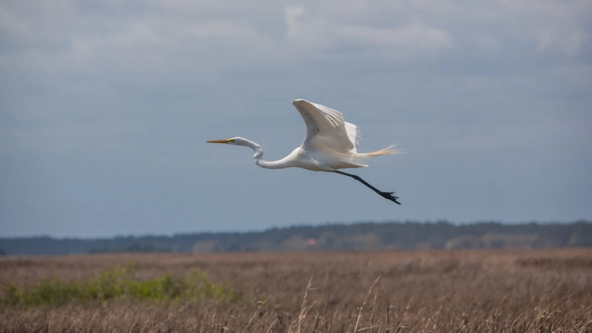
The analysis revealed that the most effective solutions were not found in hardening the coast with concrete seawalls, but in nature-based infrastructure. For instance, the proposed project in the Ten Mile community focuses on restoring marshland to act as a natural sponge, effectively slowing the velocity of floodwater before it reaches residential neighborhoods. In Tibwin and McClellanville, the plan calls for the reconfiguration of the existing canal system to mimic natural stream morphology, which will increase water storage capacity while simultaneously providing habitat for migratory birds, such as egrets and rails.
Broader Implications and Future Outlook
The implications of this initiative extend far beyond the immediate goal of reducing flood damage. By providing community leaders with scientifically backed documentation, the project has effectively leveled the playing field for these residents when they interact with government officials. As Lewis Porcher, a retired pastor and steering committee member, noted, the community now possesses the "tangible things"—maps, data, and engineered solutions—that are required to secure public funding from county and state councils.
This project serves as a model for how rural communities, particularly those with deep historical and cultural ties, can engage with environmental organizations to build resilience. It shifts the burden of adaptation from the individual homeowner to a collective, evidence-based advocacy group.
However, the road ahead remains complex. Implementation of these nature-based solutions will require sustained funding, continued cooperation from municipal agencies, and an ongoing commitment to maintenance—a historical weak point for the region. Despite these hurdles, the sense of agency gained by residents is palpable. Barbara Singleton summarized the shift in perspective, noting that she now understands exactly which agencies to contact and how to communicate her observations effectively.
As climate patterns continue to intensify, the work being done in the shadow of Cape Romain offers a blueprint for rural resilience. By valuing local history, prioritizing community-led science, and investing in natural infrastructure, these residents are not just fighting to keep their feet dry; they are fighting to preserve the cultural and environmental fabric of their home for the generations to come. The "resilience roadmap" created by this partnership is more than a technical document; it is a declaration that these communities, and the unique heritage they represent, are worth protecting.
