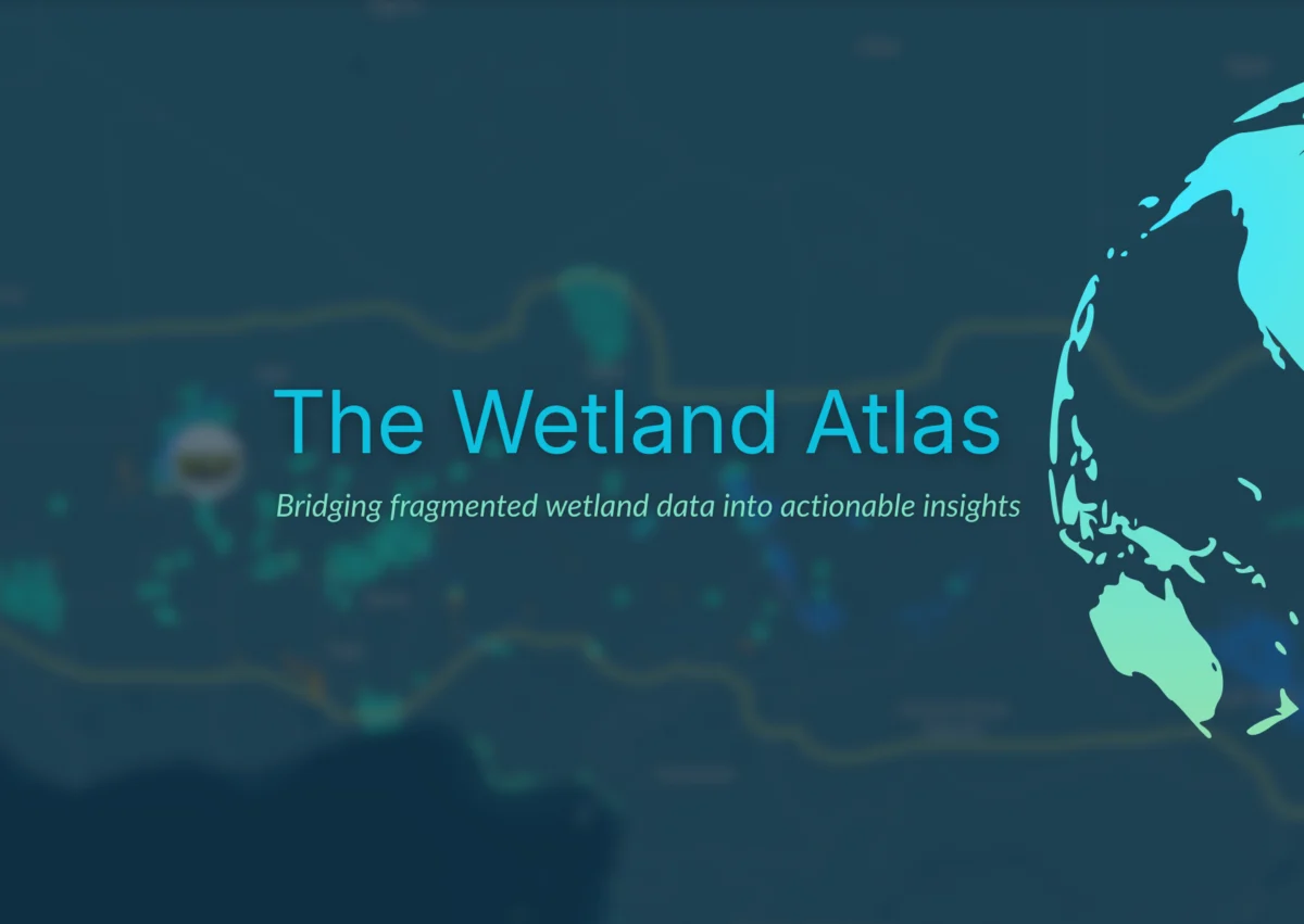
Netherlands, April 9, 2026 – In a pivotal moment for global environmental stewardship, Wetlands International today unveiled the Wetland Atlas, a comprehensive, online platform designed to combat the alarming rate of wetland loss worldwide. This ambitious initiative aims to cut through the "data fog" that has historically hampered vital investment and action, thereby unlocking new avenues for funding and conservation efforts from governments, businesses, and investors. The launch signifies a critical step towards accelerating the protection and restoration of these invaluable ecosystems, which are increasingly recognized as cornerstones of human and planetary well-being.
The urgency behind the Wetland Atlas cannot be overstated. Wetlands, encompassing freshwater and coastal ecosystems, are indispensable in addressing the most pressing challenges of our time, including water and food security, climate change mitigation and adaptation, biodiversity loss, and the pursuit of sustainable development goals. However, the statistics are stark: since 1970, a staggering 22% of the world’s freshwater and coastal wetlands have vanished, with an additional quarter of the remaining wetlands now in a degraded state. Despite the existence of ambitious global targets and a growing understanding of effective solutions, the pace of action and the flow of funding for wetland conservation and restoration continue to fall critically short of what is urgently required.
A primary impediment identified by Wetlands International has been the persistent lack of clear, up-to-date, insightful, and readily accessible data and analytical tools. This deficiency has created a bottleneck, preventing stakeholders from making informed decisions and directing resources effectively. The Wetland Atlas has been meticulously developed to address this critical gap, providing a centralized and dynamic repository of information designed to empower a new era of wetland action.
Bridging the Data Divide for Enhanced Decision-Making
Coenraad Krijger, CEO of Wetlands International, articulated the transformative potential of the new platform: "The Wetland Atlas will open up a whole new world of wetlands, accurately mapping different freshwater and coastal wetlands and their diverse values, and guiding public and private funders to invest in conservation projects that will yield the greatest returns for people, nature and climate. This unique tool is not a silver bullet, but it will help to transform how governments, businesses and financial institutions value wetlands, and invest in their protection and restoration."
The current landscape of wetland data is characterized by fragmentation, isolation, inconsistency, and incompleteness. Information is often scattered across disparate databases, research papers, and governmental reports, making it exceedingly difficult for potential investors and conservationists to gain a holistic understanding of wetland status, value, and needs. The Wetland Atlas seeks to dismantle these barriers by consolidating available information into a single, easily navigable interface. By integrating biophysical characteristics, socio-economic benefits, and policy-relevant data, the platform empowers governments, donors, and investors to identify and prioritize conservation actions where they can achieve the most significant positive impact.
Francesca Antonelli, Freshwater Lead at Wetlands International, elaborated on the platform’s user-centric design: "Different decision-makers will come to the platform with different questions, but the goal is always the same: help them make faster, better-informed decisions and so accelerate wetland action. Instead of searching in confusion and frustration across multiple disconnected sources, public and private decision-makers will be able to explore one integrated platform. Instead of raw datasets, they will see structured insights that genuinely guide their decisions and investments. Instead of uncertainty, they will gain clarity on where to act, and why."
Initial Focus on Vulnerable Regions: The Sahel and Horn of Africa
While the Wetland Atlas is designed with a global scope and plans are in place for phased expansion to include additional regions, its initial launch focuses on the Sahel and the Horn of Africa. These areas are particularly vulnerable to the impacts of climate change and environmental degradation, making investments in healthy wetlands crucial for enhancing water and food security, and for fostering peace and security. The platform provides detailed insights into the complex interplay between wetland health and human stability in these critical zones.
Karounga Keita, Regional Director for the Sahel at Wetlands International, underscored the practical significance of the Atlas for his region: "I have been waiting for a tool like this for years – the first detailed, up-to-date map of the wetlands across this vast and diverse region. Healthy wetlands are the key to reducing conflict and disaster risk in the Sahel: now we can show where action and investments will reap the greatest benefits for vulnerable communities – and help to build resilience and stability."
A Foundation Built on Collaboration and Open Access
The development of the Wetland Atlas builds upon Wetlands International’s extensive experience and established track record in environmental research, policy advocacy, citizen science, and the creation of innovative digital tools. Previous successful projects, including the Global Mangrove Watch, the Critical Sites Network Tool, the Waterbird Populations Portal, and the International Waterbird Census, have laid a strong foundation for this latest endeavor.
Furthermore, the Wetland Atlas serves as a significant complementary initiative to the work of the GEO-Wetlands partnership. This partnership leverages Earth Observation data to provide stakeholders and users with mapping, monitoring, inventory, and assessment of wetlands, operating under the auspices of the Ramsar Convention on Wetlands. The Wetland Atlas champions open-access principles, ensuring that its data and functionalities are freely available to a broad range of users. The data incorporated into the platform is drawn from a diverse array of sources, including published research, global and national databases, contributions from partner organizations, newly generated data, and valuable user input. This dynamic approach ensures that the Atlas will continuously evolve and improve as new information becomes available.
Empowering Users with Actionable Insights
The Wetland Atlas is specifically engineered as a sophisticated decision-support platform, designed to equip users with the tools and information necessary to make impactful choices. Its core functionalities include:
- Comprehensive Wetland Mapping: Providing detailed, spatially explicit maps of various wetland types, highlighting their geographic extent and characteristics.
- Biodiversity and Ecosystem Services Assessment: Offering insights into the rich biodiversity supported by wetlands and the crucial ecosystem services they provide, such as water purification, flood regulation, and carbon sequestration.
- Threat and Risk Analysis: Identifying key threats to wetlands, including pollution, habitat destruction, unsustainable resource use, and the impacts of climate change, alongside an assessment of associated risks.
- Conservation Prioritization: Enabling users to identify areas of high conservation value and critical importance for restoration efforts based on scientific data and ecological significance.
- Investment Opportunity Identification: Guiding potential investors and donors to specific projects and locations where their contributions can yield the greatest environmental and societal returns.
- Monitoring and Reporting Tools: Facilitating the tracking of wetland status and changes over time, supporting compliance with conservation targets and reporting requirements.
The development of the Wetland Atlas benefited from crucial technical support from Aberystwyth University, expert tool design by Vizzuality, and the generous financial backing of donors advised by Effektiv-Spenden. This collaborative effort underscores the multi-stakeholder approach required to tackle complex environmental challenges effectively.
A Call to Collective Action for the Future of Wetlands
Francesca Antonelli reiterated the significance of the launch while emphasizing the ongoing need for collaboration: "Today’s launch is a milestone on the path to a better, collective understanding that will help transform global efforts to safeguard the world’s remaining wetlands, but it is just the start. No single organization can drive this alone – that is why we have been working with partners since the start and why we invite all potential partners and donors to join us to collectively invest in the next phases of the Wetland Atlas."
The launch of the Wetland Atlas represents a critical turning point in the global effort to conserve and restore wetlands. By providing unprecedented access to data, analysis, and insights, this platform has the potential to catalyze significant action and investment, moving beyond awareness to tangible, impactful conservation outcomes. The success of the Atlas will ultimately depend on continued collaboration, data contributions, and a shared commitment to safeguarding these vital ecosystems for the benefit of both present and future generations. The initiative serves as a powerful testament to what can be achieved when scientific expertise, technological innovation, and a collective will to protect nature converge.
